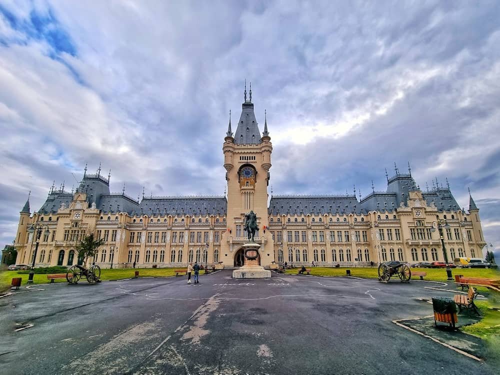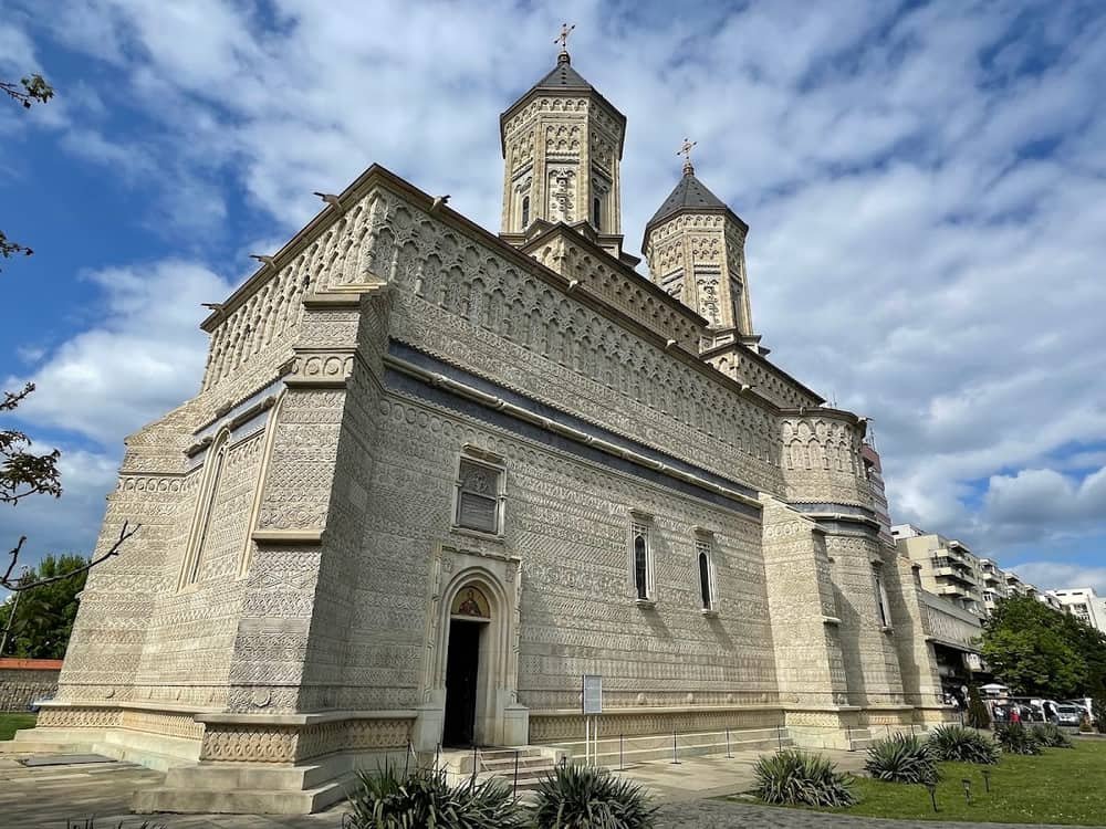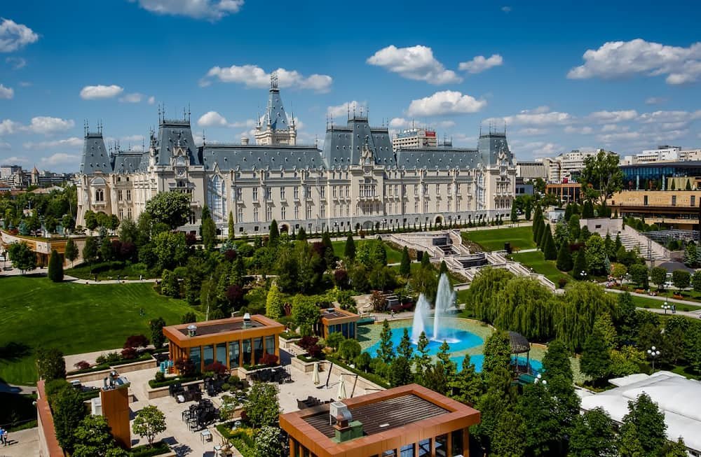
Iași is a city you feel in your legs before you understand it on a map. The centre is low, in the Bahlui valley; the universities are up on the hill; the monasteries sit on separate rises, from which you could once see who was coming. The difference between the lowest and highest built-up points is about fifty metres, which does not sound like much on paper but translates into constant climbing.
Position
The city lies in eastern Romania, in the basin of the Bahlui river, exactly where two subunits of the Moldavian Plateau meet: the Central Moldavian Plateau to the south and the Jijia Hilly Plain to the north. This geomorphological boundary explains the broken relief.
The border with the Republic of Moldova is about 20 kilometres east. For a visitor, that means Iași is closer to Chișinău than to many large Romanian cities.
The numbers
- Total area: 93.9 km², of which 71.1 km² built-up.
- Altitude: between 45 and 95 metres.
- Density: roughly 5,330 inhabitants per km².
The seven hills
Local tradition counts seven hills, deliberately, as in Rome — the conceit of a former capital:
- Copou — the hill of the universities, the Botanical Garden and the park.
- Cetățuia — with its fortified monastery and one of the best views over the city.
- Galata — with Galata monastery above the valley.
- Bucium — the hill of vineyards and villas, to the south-east.
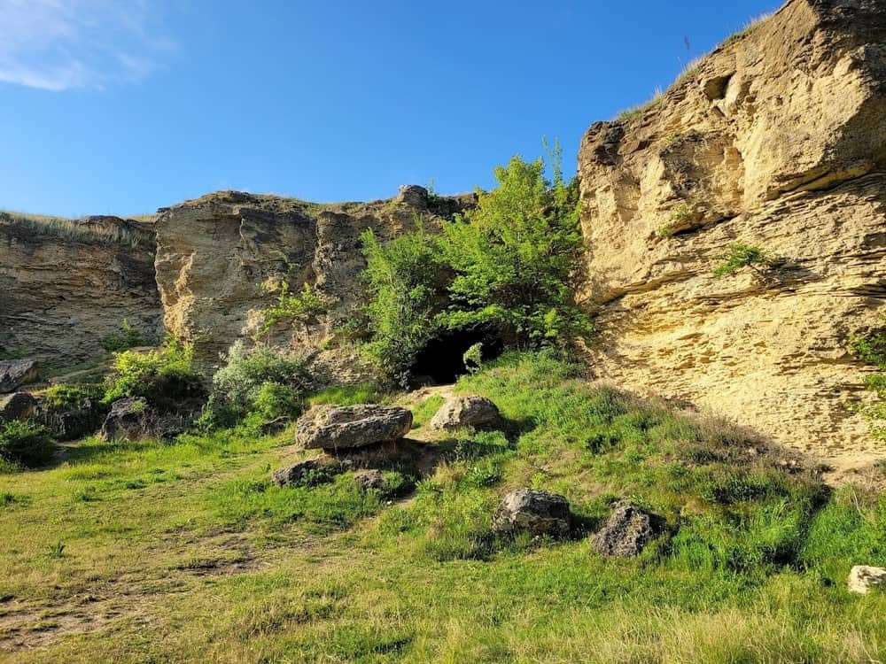
- Repedea — with its palaeontological reserve, where the outcrops hold marine fossils.
- Breazu — to the north, towards the city limit.
- Șorogari — also north, above Ciric.
The number is symbolic rather than strictly geographical, but the hills are real, and they explain why the city has no single compact centre but several nuclei at different heights.
Water
The Bahlui crosses the city from west to east and flows into the Jijia. It is not a spectacular river — it is channelled along most of its urban course and does not function as a waterfront, as rivers do in other cities. The locals' leisure ground is elsewhere: the lakes at Ciric, to the north-east, with a beach, running trails and open-air events in summer.
Climate
Iași has a humid continental climate (Dfb in the Köppen system), with four clearly separated seasons. The 1991–2020 normals:
- Mean annual temperature: 10.5 °C
- January average: −2.1 °C
- July average: 22.4 °C
- Annual precipitation: 548 mm
The records say more than the averages: −36.3 °C in February and 41.3 °C in August. Winter brings blizzards, summer brings heatwaves — this is not a mild climate.
What that means for a visit
- April–June and September–October are the best windows: comfortable temperatures, terraces open, good light for photographs.
- July–August is hot and the city empties of students; terraces work, but midday heat is real.
- December–February is seriously cold. Still worth it for the atmosphere in the centre and for the Palace of Culture museums, where you stay indoors.
- 14 October, the feast of Saint Parascheva, brings hundreds of thousands of pilgrims. Accommodation books out months ahead and central traffic changes completely.
Live weather is on the Iași Live page.
Green space
Iași does well on green space by Romanian standards, largely thanks to its former-capital inheritance: the "Anastasie Fătu" Botanical Garden is Romania's oldest (1856) and one of its largest, and Copou Garden is the country's oldest landscaped public park. Detail in parks and nature.
What the terrain means for a visitor
Fifty metres of level difference does not sound like much on paper. On the ground it means the route between the centre and Copou is a constant climb, that the hilltop monasteries take real effort, and that in winter, with ice, some slopes become difficult even by car.
The practical consequence: comfortable shoes and, for Copou, tram 1 rather than walking. For Cetățuia and Galata, many visitors take a taxi up and walk down.
The climate, translated into decisions
Numbers are numbers; here is what they mean:
- An annual mean of 10.5 °C is below Bucharest's — Iași is further north and more continental.
- A January average of −2.1 °C, with a record low of −36.3 °C, says winter is not symbolic. It is still worth it: the museums are concentrated and the city is at its cheapest.
- A July average of 22.4 °C, with a record high of 41.3 °C, says that in summer you schedule outdoors for the morning and indoors at midday.
- 548 mm of precipitation a year is below the national average. Summers are hot and dry, which puts pressure on green space.
The water, or the lack of it
The Bahlui crosses the city but does not define it. It is channelled along most of its urban course, and Iași turns its back on it — there is no embankment, promenade or riverside urban life of the kind found in Cluj or Timișoara.
The city's water is elsewhere: the Ciric lakes, to the north-east, with a laid-out beach and woodland. That is a choice, not an accident: leisure moved there.
Frequently asked questions
Which river is Iași on?
The Bahlui, a tributary of the Jijia. It crosses the city from west to east but is channelled along most of its urban course and forms no waterfront.
What is the climate of Iași like?
Humid continental (Dfb), with cold winters and warm summers. The annual mean is 10.5 °C, January averages −2.1 °C, July averages 22.4 °C, and annual precipitation is around 548 mm.
When is the best time to visit Iași?
April–June and September–October. The weather is pleasant, terraces are open, and you avoid both the summer heat and the winter cold.
How big is Iași?
93.9 km² in total, of which 71.1 km² is built-up, at an altitude of between 45 and 95 metres.
Can you hike around Iași?
Yes. The surrounding hills — Bucium, Repedea, Cetățuia, Breazu — are accessible and give views over the city. The Repedea reserve is also a geological site, with fossil-bearing outcrops.